RUN THE WILD
Five distances. The Bugyly mountain ridge. From elite ultrarunners to young adventure seekers — test your limits and conquer some of the most stunning mountain landscapes in Central Asia.
🌿 What is Bugyly Trail?
WHERE ADVENTURE BEGINS AT SUNRISE
Bugyly Trail is an annual extreme mountain running marathon held in one of the most scenic mountainous regions of Central Kazakhstan. Along the 50‑kilometer route, you’ll experience the untouched beauty of Karkaraly: the Bugyly Mountains, Lake Samal, Shokpartas, the Zheti Agaiyn ridge, Ayushat Mountain, and the picturesque landscapes of Kendara.
Supported Aid Stations
Along the route you’ll find energy points: water for refreshment and refilling bottles, dried fruits and light snacks for a quick energy boost. Volunteers will guide you, support you, and keep you motivated throughout the distance.
Certified Terrain
All routes are fully marked, include GPS tracks, and are certified by the International Trail Running Association (ITRA).
Finisher Rewards
Every finisher receives a commemorative medal, a branded T‑shirt, and a burst of emotions in the finish village. Overall winners receive cash prizes. Age‑group podium finishers are awarded diplomas. A special prize is given for breaking the course record.
Moments on the mountain
FEEL THE ATMOSPHERE
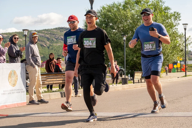
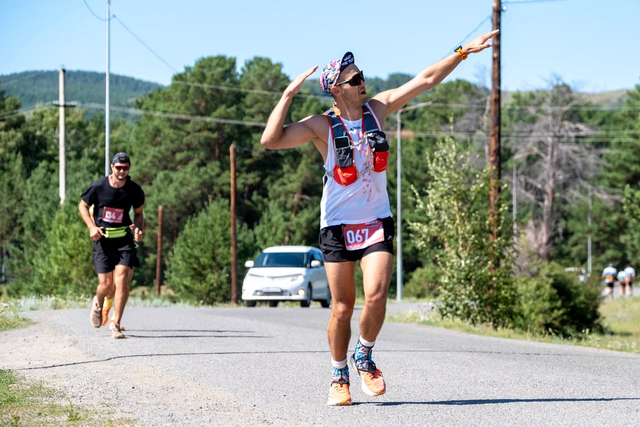
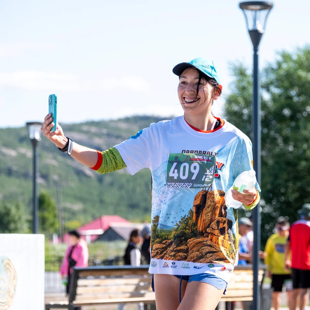
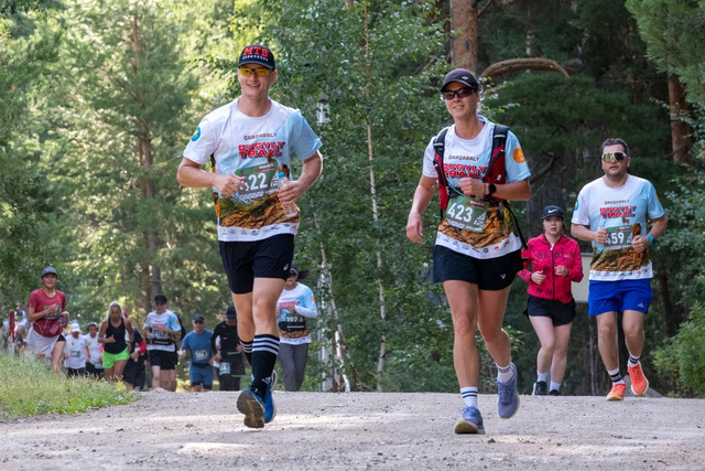
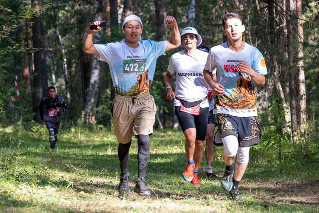
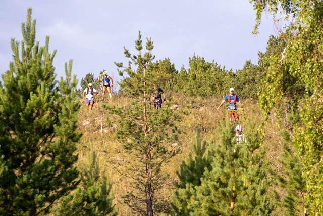
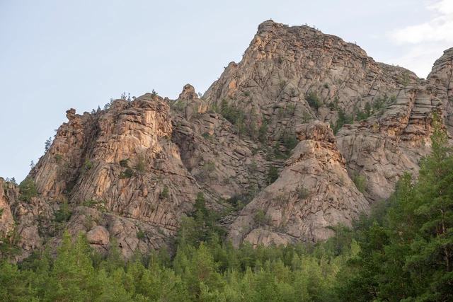
Follow #BugylyTrail on Instagram for live race-day updates
Pick your challenge
DISTANCES & REGISTRATION
Choose your distance, secure your slot, and prepare for the most memorable race of your year. All prices include finisher medal, timing chip, and aid station access.
about 50 km, fire 18 years old, 5 food points, elevation gain ~996 m;
Sold Outabout 21 km, fire 18 years old, 2 food points, altitude ~ 500 m;
Sold Outapprox. 10 km, ages 18+, 1 aid station, ~300 m elevation gain;
Sold Outteenagers (13–17), ascent — 30 m;
Sold Outchildren's race (ages 9–12), elevation gain: -10 m;
Sold Out📄 Important information
Event Regulations
Review the official regulations for the Bugyly Trail mountain race.
📍 Race pack collection: July 23-25 from 10:00 to 19:00, at: Karkaraly, Bugyly Dam, Karkaraly district, Coordinates: 49.412524, 75.454145
July 24, Friday
- 10.00 10:00 - Race pack collection & gear check
- 16.00 16:00 - Start village opening
July 25, Saturday
- 10.00 10:00 - Race pack collection & gear check
- 16.00 16:00 - Start village opening
July 26, Sunday
- 04:00 04:00 - Start village opening
- 04:00 04:00-04:45 - Gear check & start corridor entry (50 km)
- 05:00 05:00 - Start Bugyly Ultra Trail 50 km
- 06:00 06:00 - Start Shaitankol Trail 12 km, Nordic Walking 12 km
- 06:20 06:20 - Start Bugyly Forest Trail 21 km
- 08:30 08:30 - Official opening & Kids 1 km start
- 08:50 08:50 - 5 km start
- 09:00 09:00 - Shaitankol Trail 12 km time limit
- 10:20 10:20 - Bugyly Forest Trail 21 km time limit
- 12:00 12:00 - Award ceremony
- 14:00 14:00 - Bugyly Ultra Trail 50 km time limit
- 15:00 15:00 - General event closing
⚠️ In case of bad weather, organizers reserve the right to change start times, cutoff times, or the course. The timing may be adjusted at the organizers' discretion.
🚌 Getting to Karkaraly
- The nearest airport is in Karaganda (KFG) - 220 km away.
- Scheduled buses run daily (8:30, 11:00, 16:00), price 1000-2500 tenge, travel time 3 hours.
- InDriver: ~3500 tenge (2.5 hours). Yandex Taxi: from 800 tenge.
🚍 Transfer from Karaganda will be organized for participants in need. Details will be posted in the organizers' social media.
Transfer from Karaganda will be organized for participants in need. Details will be posted in the organizers' social media.
📍 Start/Finish & Camping
Karkaraly, Bugyly Dam. Coordinates: 49.412524, 75.454145. You can bring your own tent or rent one.
🏢 Hotels & Bases
There are tourist bases and hotels in the city (book in advance, it's peak season!). Participants book accommodation independently.
🍲 Hot meals will be organized in the camping area at the participants' expense. There are also cafes and restaurants in the city.
Hot meals will be organized in the camping area at the participants' expense. There are also cafes and restaurants in the city.
🗺 Course Map
EXPLORE THE TRACKS
Select a distance to see the route on the map.
Trusted by
OUR PARTNERS





Follow our journey
SHARE YOUR STORY
Tag your training photos with #BugylyTrail and get featured on our official page. Join a community of trail runners who love the mountains as much as you do.
@bugylytrail